Old Folding Marble Map - John Rocque (1746)
Old Folding Marble Map - John Rocque (1746)
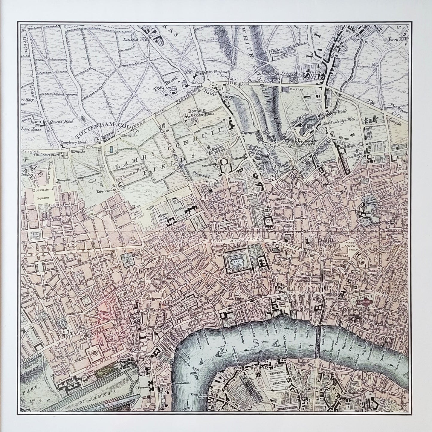
Map showing the environs of the Foundling Hospital, 1746
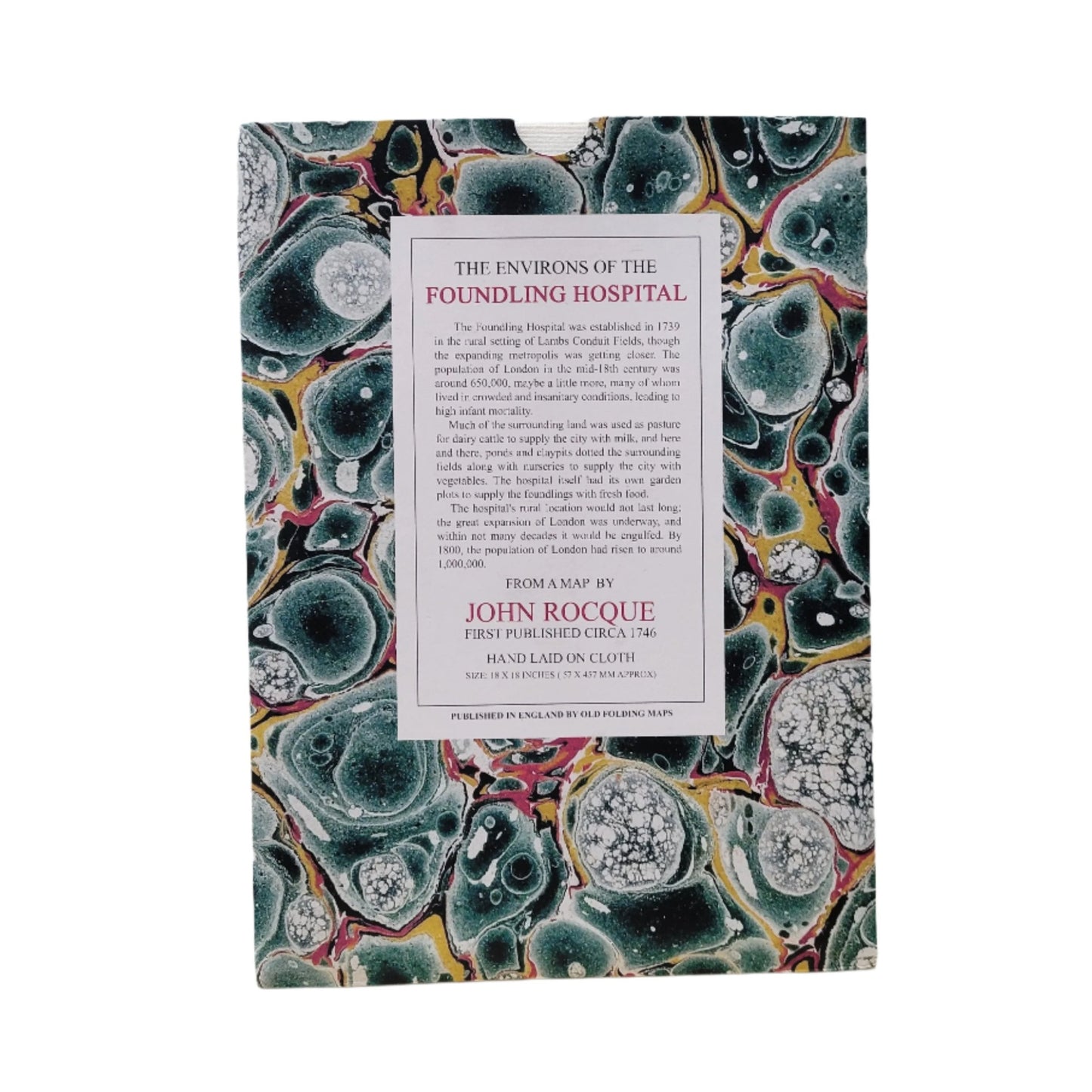
The Foundling Hospital was established in 1739 in the rural setting of Lambs Conduit fields, at a time when London's population was around 650,000. The rural location of the Hospital would not last long as London was an expanding metropolis and its population rose to 1 million inhabitants by 1800.
This map by the revolutionary 18th-century French-British cartographer John Rocque shows London's settlements and geography in the Foundling Hospital's early years.
Old Folding Maps Ltd.
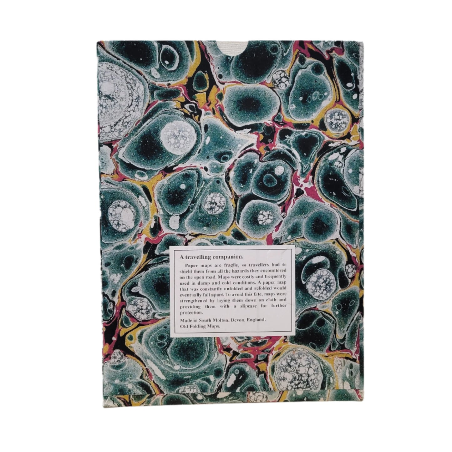
Paper maps are fragile, so travellers had to shield them from all the hazards they encountered on the open road. Maps were costly and frequently used in damp and cold conditions. A paper map that was constantly unfolded and refolded would eventually fall apart. To avoid this fate, maps were strengethened by laying them down on cloth and providing them with a slipcase for further protection.
Hand laid on cloth.
Size approx 45 x 45 cm (18 x 18 inches)
Published and made in Devon, England by Old Folding Maps, Ltd.
Important information:
The marble cover pattern seen in the product image may not be the same as your order, as each map is given a unique marble design.
Couldn't load pickup availability


