Old Marble Folding Map - Charles Booth (1889)
Old Marble Folding Map - Charles Booth (1889)
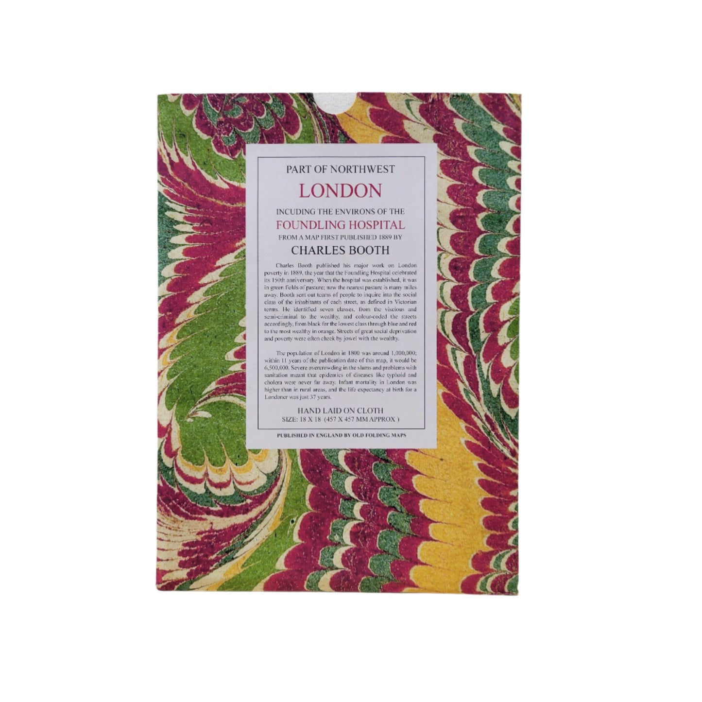
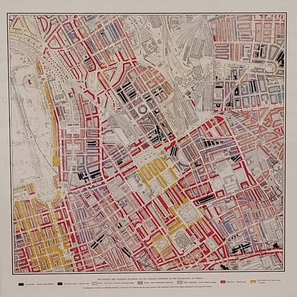
Map showing the environs of the Foundling Hospital, 1889
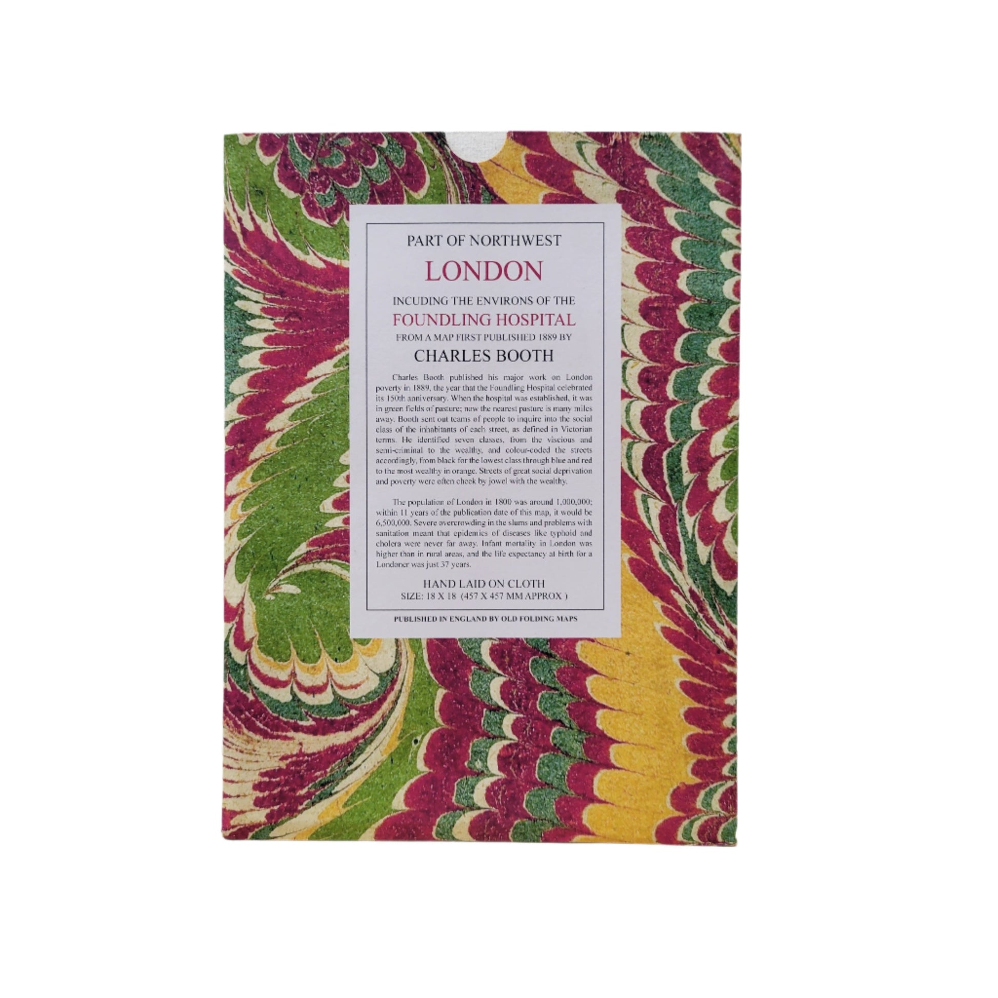
The Foundling Hospital was established in 1739 in the rural setting of Lambs Conduit fields. On the 150th anniversary of the Hospital, the social researcher and reformer, Charles Booth, published the London Poverty Map, showing the wealth distribution across London in the 19th century. This map in particular focuses on the area near the Foundling Hospital in Lamb's Conduit.
Old Folding Maps Ltd.
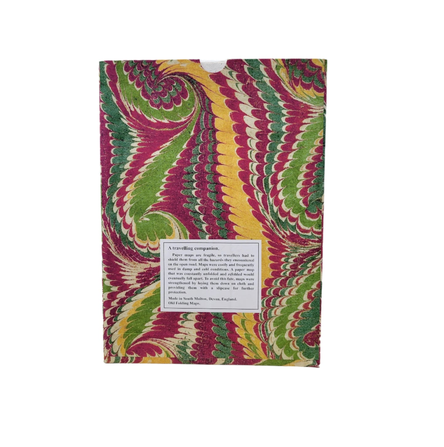
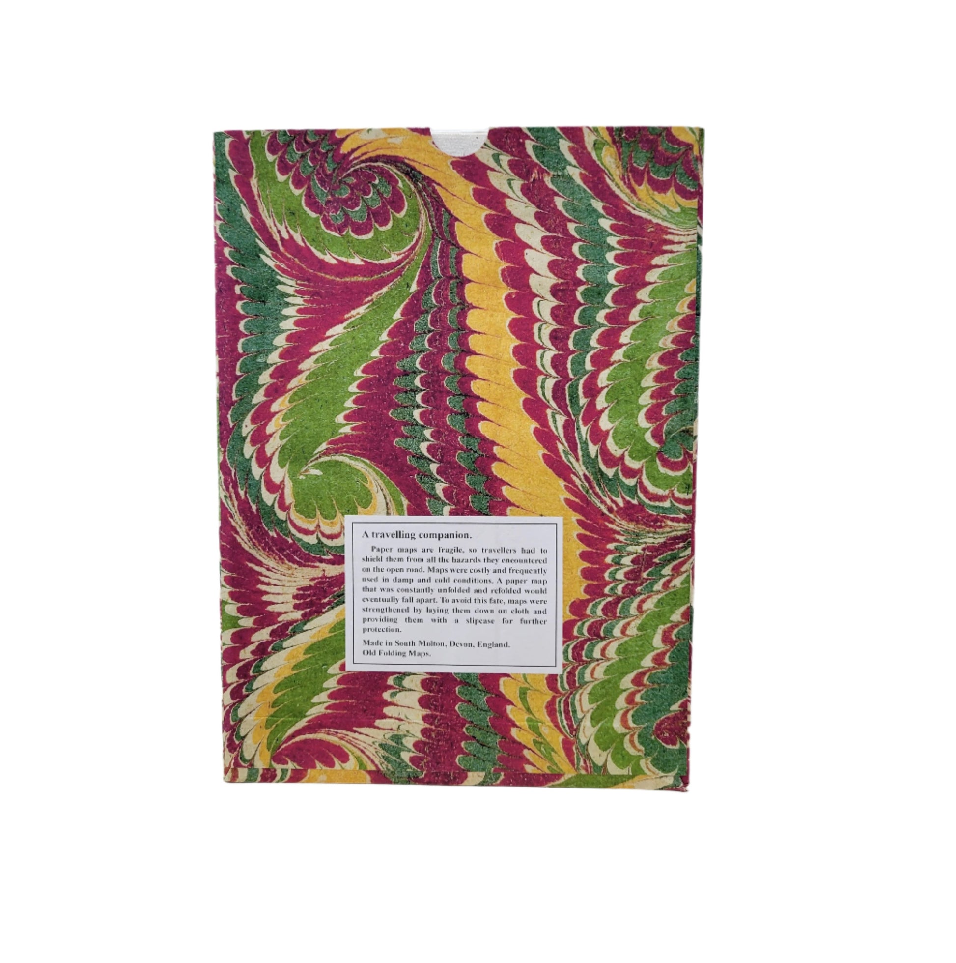
Paper maps are fragile, so travellers had to shield them from all the hazards they encountered on the open road. Maps were costly and frequently used in damp and cold conditions. A paper map that was constantly unfolded and refolded would eventually fall apart. To avoid this fate, maps were strengethened by laying them down on cloth and providing them with a slipcase for further protection.
Hand laid on cloth.
Size approx 45 x 45 cm (18 x 18 inches)
Published and made in Devon, England by Old Folding Maps, Ltd.
Important information:
The marble cover pattern seen in the product image may not be the same as your order, as each map is given a unique marble design.
Couldn't load pickup availability
